UN
35 Torr Lane
£ 458,000
Description
We don't have a Description for this property.
- Bedrooms
- 4
- Bathrooms
- 0
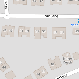

Leaflet © OpenStreetMap contributors
The heatmap indicates the level of crime in the area. The color of the heatmap indicates the crime severity and recency.
Metrics Year-on-Year
- Average area value
- 302,556.00 £Increased by 11.90 %
- Average area rental value
- 984.00 £/moDecreased by 11.27 %
- Est rental Yield
- 3.90 %Decreased by 20.73 %
- Crime Rate
- 1.00 %Unchanged by 0.00 %
from 270,382.00 £
from 1,109.00 £/mo
from 4.92 %
from 1.00 %
Nearby Schools
| Name | Type | Ofsted | Distance |
|---|---|---|---|
| King'S School | Other Independent School | 0.26 KM | |
| Manadon Vale Primary School | Academy Converter | Good | 0.89 KM |
| Hyde Park Junior School | Academy Converter | 0.94 KM | |
| Hyde Park Infants' School | Academy Converter | 0.95 KM | |
| Plymouth College | Other Independent School | 1.04 KM |
Images
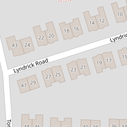
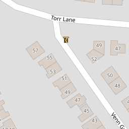
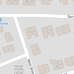
Nearby Streets
| Name | Average Price | Average Sqft | Distance |
|---|---|---|---|
| Torr Crescent | £ 475,000 | 0 | 0.00 KM |
| Glenhurst Road | £ 0 | 0 | 0.00 KM |
| Leighton Road | £ 0 | 0 | 0.00 KM |
| St Martin's Avenue | £ 290,000 | 0 | 0.00 KM |
| St Gabriel's Avenue | £ 0 | 0 | 0.00 KM |
Nearby Transport
| Name | NLC | TLC | Distance |
|---|---|---|---|
| Plymouth | 3580 | PLY | 1.93 KM |
| Devonport | 3579 | DPT | 4.08 KM |
| Dockyard (Devonport) | 3588 | DOC | 4.47 KM |
| Keyham | 3571 | KEY | 4.70 KM |
| St Budeaux Ferry Road | 3590 | SBF | 5.53 KM |
Nearby Listings
| Address | Price | Type | Score | Distance |
|---|---|---|---|---|
| Torr Lane, Plymouth | £ 550,000 | BUY | Unknown | 0.03 KM |
| Venn Way, Plymouth | £ 550,000 | BUY | 7 / 10 | 0.09 KM |
| Hartley, Plymouth | £ 600,000 | BUY | 6 / 10 | 0.16 KM |
| Tor Road, Hartley, Plymouth | £ 425,000 | BUY | 7 / 10 | 0.18 KM |
| Venn Grove, Plymouth | £ 550,000 | BUY | 6 / 10 | 0.20 KM |
Nearby Properties
| Address | Price | Distance |
|---|---|---|
| 35 Torr Lane | £ 458,000 | 0.00 KM |
| 39 Torr Lane | £ 300,000 | 0.00 KM |
| 42 Torr Lane | £ 416,500 | 0.07 KM |
| 44 Torr Lane | £ 465,000 | 0.07 KM |
| 36 Torr Lane | £ 468,000 | 0.07 KM |